
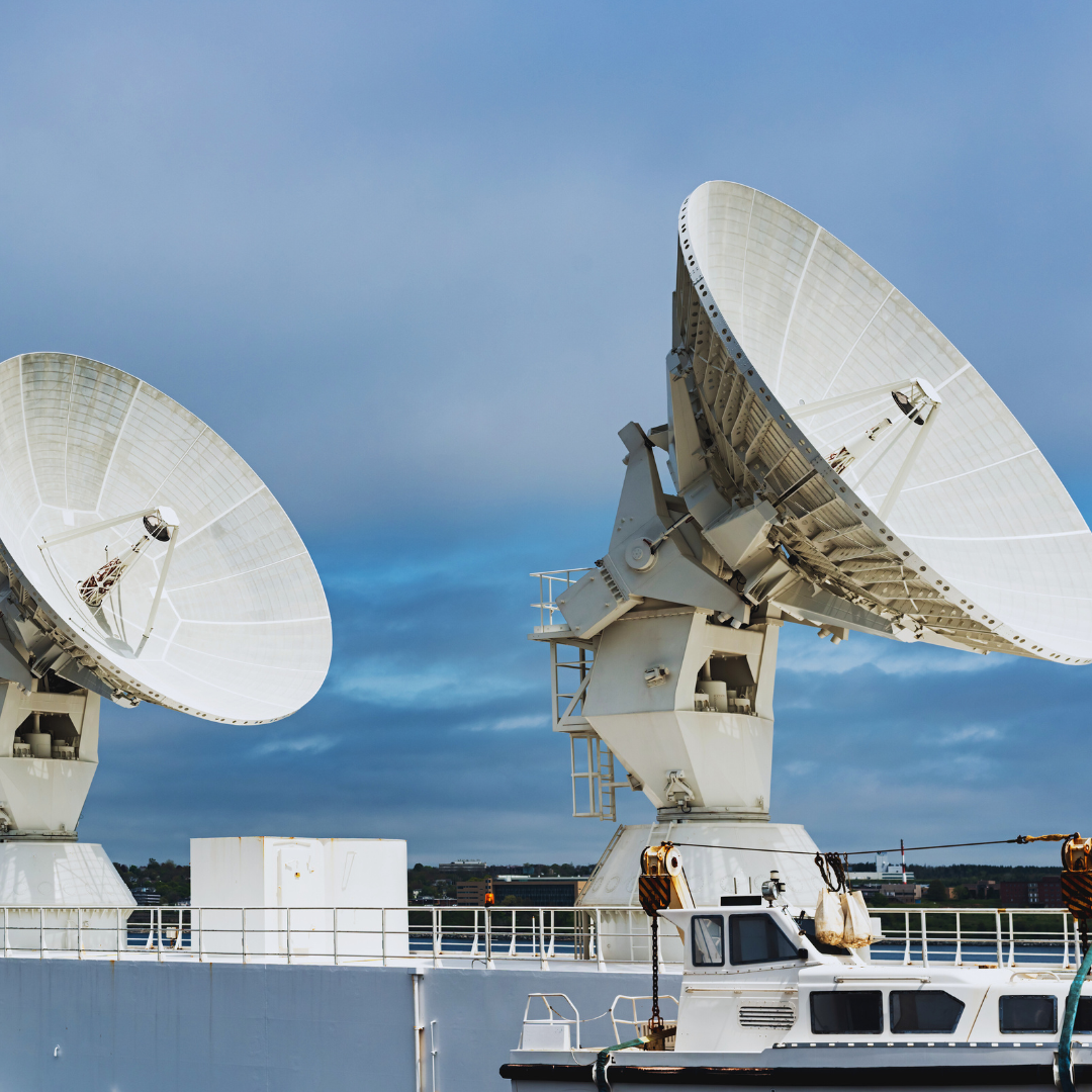
Satellite tracking technology is revolutionizing the field of marine migration studies by providing detailed insights into the movement patterns of various species. This advancement allows researchers to monitor migration routes in real time, enhancing understanding of marine ecosystems and species behavior. As a result, scientists can identify critical habitats and assess the impacts of environmental changes.
Through satellite tracking, experts can gather vast amounts of data on how marine animals navi26/10/2026gate their environments. This information is crucial for conservation efforts and policy-making, as it helps determine the effects of human activities, such as fishing and climate change, on migratory species. By analyzing migratory patterns, researchers can propose more effective strategies to protect these species.
The implications of satellite tracking extend beyond academic research; they play a vital role in the sustainable management of marine resources. With improved knowledge of migration dynamics, stakeholders can make informed decisions that support the longevity of marine life and ecosystems. This technology is not just enhancing science; it is paving the way for a more sustainable future.
The Fundamentals Of Satellite Tracking In Marine Migration
Satellite tracking is an advanced method that greatly enhances the understanding of marine migration patterns. Through various telemetry technologies, researchers can gather vital tracking data that helps in conservation efforts and policy-making.
Principles Of Satellite Telemetry
Satellite telemetry involves sending animal location data from tags attached to marine species. These tags typically utilize GPS and satellite communication to relay positional information.
The tags record location coordinates at predetermined intervals. Once the data is collected, it is transmitted to a satellite system, which then forwards it to researchers.
The primary goal is to monitor the migration routes, behaviors, and habitats of marine animals. Understanding these patterns assists in identifying critical habitats and potential threats.
Types Of Tagging Technologies
Several tagging technologies are employed in marine migration studies. The most common types include GPS tags, acoustic telemetry, and data loggers.
- GPS Tags: These provide high-resolution location data when animals surface.
- Acoustic Telemetry: Utilizes acoustic transmitters and receivers to track movements underwater.
- Data Loggers: Record various environmental parameters, such as depth and temperature, alongside positional data.
Each technology offers unique advantages, simplifying the understanding of different species’ migratory behaviors.
Data Collection And Availability
Data collection hinges on the type of telemetry used. Satellite tracking provides near real-time data for animals equipped with satellite tags. In comparison, acoustic telemetry relies on stations placed in strategic locations to capture signals from tagged animals.
Data availability can vary based on tag types. GPS tags provide precise location updates, while acoustic systems depend on proximity to receivers. Long-term bio-logging initiatives can also yield comprehensive datasets on migration trends.
Researchers rely on this data to create migration models, inform conservation strategies, and understand the impact of environmental changes. The continuous accumulation and analysis of tracking data enhances knowledge of marine ecosystems.
Insights Into Migration Patterns And Marine Species
Satellite tracking has revolutionized the understanding of marine migration, providing valuable data on species’ movements and behaviors. It allows researchers to pinpoint migration routes, identify critical habitats, and examine the ecological needs of various marine species.
Identifying Migration Routes And Hotspots
Through the use of satellite tags, researchers have tracked numerous marine species along established migration routes. For instance, leatherback turtles travel thousands of miles between nesting sites and foraging grounds in search of jellyfish.
Identifying these hotspots is crucial, as they often coincide with areas of high prey availability. Migration routes help in assessing environmental pressures, such as climate change and fishing activities, which may threaten these pathways.
Understanding Habitat Use And Preferences
Satellite tracking not only reveals routes but also highlights habitat preferences among marine animals. Species like the tiger shark exhibit strong preferences for coastal habitats while migrating.
The data collected helps define which areas are essential for feeding, breeding, or shelter. Understanding these preferences assists in conservation efforts by informing policymakers about which habitats need protection.
Species Case Studies: Sharks, Sea Turtles, And Seabirds
Sharks, such as the blue shark and the oceanic whitetip shark, demonstrate complex migration behaviors. For example, bluefin tuna are known for their long migrations across the Atlantic, while seabirds migrate thousands of miles between breeding and feeding sites.
Research on tagged individuals from these species offers insights into their population dynamics and interactions within ecosystems. These case studies contribute to a broader understanding of marine megafauna and their role in marine ecology.
Long-Distance Migration And Critical Habitats
Many species engage in long-distance migrations that connect distinct ecosystems. The whale shark, for example, travels vast distances to reach rich feeding grounds.
Critical habitats along these migration paths provide essential resources. Protecting these areas is vital for sustaining healthy populations of migratory species and ensuring the resilience of marine ecosystems against anthropogenic threats. This protective focus is especially important during breeding and nesting seasons when species are vulnerable.
Transforming Marine Conservation And Management Decisions
Satellite tracking is revolutionizing marine conservation and management by providing critical data on species behavior and ecosystem dynamics. This technology enhances conservation strategies, informs fisheries management, and addresses the challenges posed by climate change.
Supporting Conservation Strategies And Biodiversity Protection
Satellite tracking enables researchers to monitor migratory patterns of marine species, such as whales and sharks. This data aids in identifying critical habitats and breeding grounds, which are vital for biodiversity protection.
By locating areas of high concentration, conservationists can implement targeted strategies. For example, tracking can reveal the impact of human activities on specific species, allowing for the development of tailored conservation efforts. This approach enhances the effectiveness of initiatives, leading to better preservation of marine ecosystems.
Improving Marine Protected Areas And Fisheries Management
Data from satellite tracking is essential for optimizing marine protected areas (MPAs). Understanding species movements helps determine the spatial and temporal effectiveness of these zones. For instance, tracking allows for dynamic management of fisheries, ensuring that regulations align with actual migratory patterns.
Fisheries management benefits from this insight as well. By aligning fishing practices with ecological data, managers can reduce overfishing and enhance recovery of depleted stocks. A clear understanding of species behaviors leads to better decision-making in both conservation and economic viability.
Informing Conservation Efforts Amid Climate Change
Climate change presents significant challenges for marine ecosystems. Satellite tracking helps scientists understand how warming waters affect species migrations and reproductive behaviors.
This data is crucial for informing adaptive conservation strategies that address climate-related shifts. For instance, tracking can identify species at risk of habitat loss due to temperature changes, allowing for proactive measures. Efforts such as the High Seas Treaty become more effective when supported by precise movement data, ensuring a comprehensive approach to marine conservation in an evolving environment.
Broader Ecological And Human Implications
Satellite tracking provides insights into marine migration that have far-reaching ecological and human implications. Understanding these impacts helps shape conservation strategies, manage fisheries, and assess human activities in marine environments.
Ecology And Ecosystem Interactions
Satellite tracking reveals the movement patterns of apex predators and other marine species, crucial for maintaining ecological balance. For instance, tracking large predators helps identify their foraging behaviors and how they interact with prey species.
Migration routes often cross various habitats, linking ecosystems during breeding, feeding, and resting phases. The information gathered can inform conservation efforts, ensuring adequate protection of critical habitats, especially in regions like the Indian Ocean, where biodiversity is rich yet vulnerable.
Impacts On Fisheries, Shipping, And Pollution Tracking
The data from satellite tracking significantly affects fisheries management. By understanding the migration paths of key species, regulators can adjust fishing practices to prevent overfishing and ensure sustainable stocks.
Moreover, shipping routes can be optimized to minimize interactions with migratory species, reducing accidents and ecological disruption. Tracking pollution incidents allows for timely responses, minimizing damage to marine environments where species such as fish and marine mammals reside.
Applications In Behavior: Foraging, Mating, And Resting
Insight into the foraging behavior of marine species is enhanced through satellite data. It allows researchers to identify key feeding grounds that sustain various populations.
Mating and reproduction patterns also become clearer, as tracking reveals migration to breeding sites. Understanding these cycles is essential for effective management.
Resting behaviors can indicate critical habitats, informing conservation efforts to protect areas where species congregate to recover during long migrations. This knowledge leads to more targeted intervention strategies for marine conservation.